.png)
We understand that every industry has unique requirements, regulations, and operational challenges. That's why TerraVision offers three core solution suites, each adaptable to the specific needs of the industries we serve:
.avif)
Comprehensive mining application suite complete with a fleet management system and smart mine remote operations management designed specifically for mining environments.
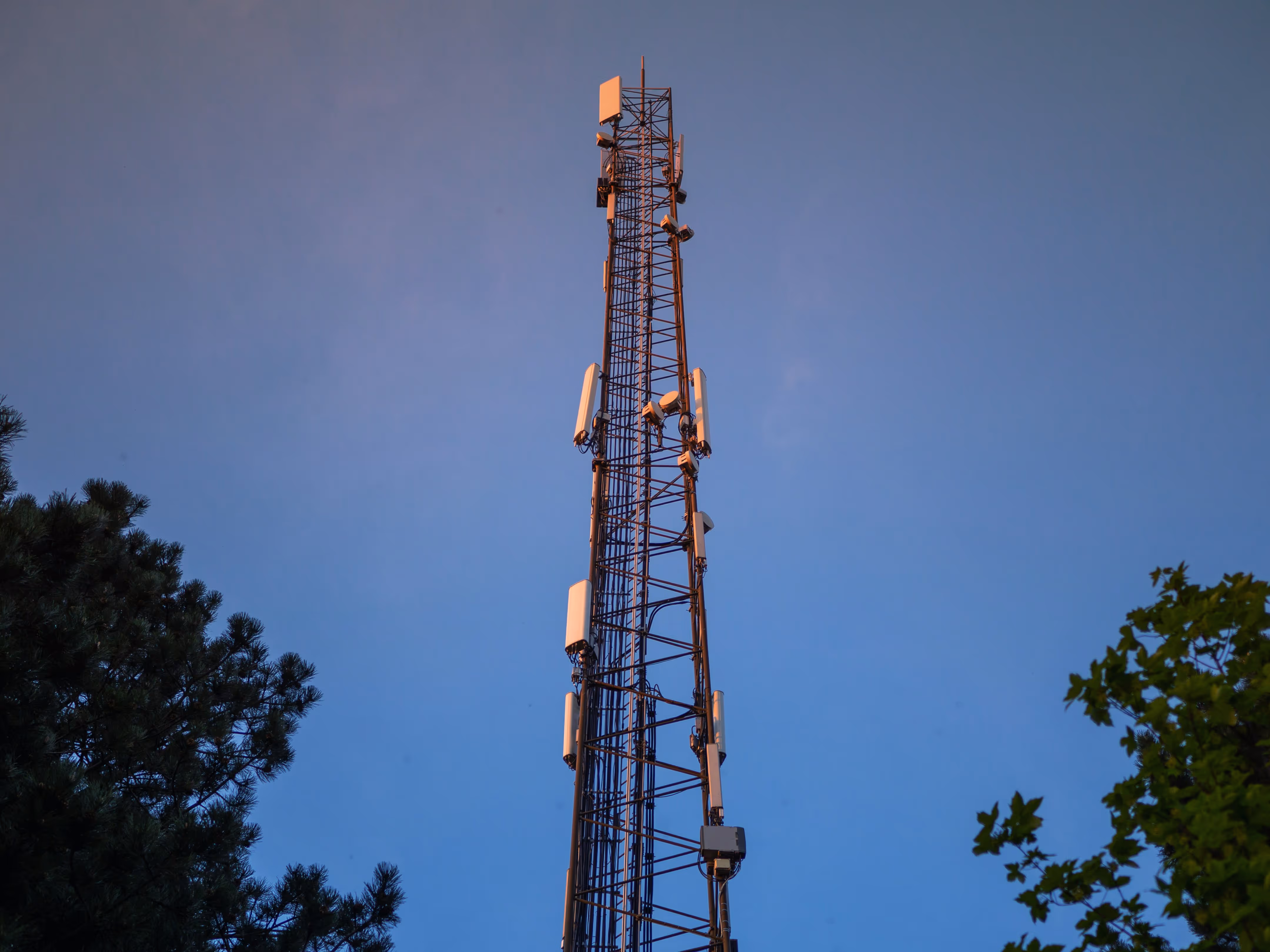
Private LTE/5G network infrastructure with our own proprietary core. Delivers complete network sovereignty, security, and control for operations in remote locations.
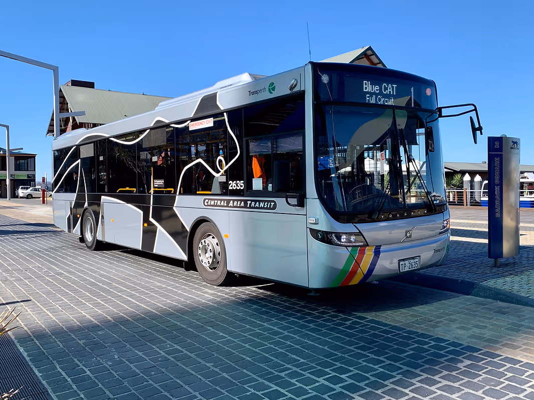
Complete fleet management platform for operations of all sizes. Integrates GPS tracking, driver management, maintenance scheduling, fuel management, compliance tracking, and business intelligence reporting.
How 60% of operations can't adopt FMS due to communicaitons barriers.

How 60% of operations can't adopt FMS due to communicaitons barriers.
How 60% of operations can't adopt FMS due to communicaitons barriers.
Comprehensive mining application suite complete with a fleet management system and smart mine remote operations management designed specifically for mining environments.
Private LTE & 5G network infrastructure with our own proprietary core. Delivers complete network sovereignty, security, and control for operations in remote locations or requiring dedicated communications infrastructure.
Complete fleet management platform for operations of all sizes. Integrates GPS tracking, driver management, maintenance scheduling, fuel management, compliance tracking, and business intelligence reporting.
MINING INDUSTRY
Safety-critical operations in the world's most challenging environments demand purpose-built communication and fleet management technology.
Mining operations face unique challenges that defeat conventional technology:
.avif)
Purpose-built for mining operations, BluePipe Mining Suite delivers complete fleet tracking and smart mine remote operations management that works where conventional systems fail.

Private network infrastructure designed for remote mining sites where commercial coverage doesn't exist and mission-critical reliability is essential.

GOVERNMENT SECTOR
Secure, sovereign communication infrastructure and fleet management for agencies that serve the public interest.
• Data Sovereignty: Sensitive information must remain under government control
• Security Clearances: Compliance with defense and security standards
• Priority Communications: Emergency services need guaranteed network access
• Public Accountability: Transparent fleet operations and cost management
• Multi-agency Coordination: Interoperability between departments and services
• Budget Constraints: Maximise value from public funds while maintaining capabilities
.png)
Complete fleet management for government vehicle operations, from emergency response vehicles to municipal service fleets.
• Fleet accountability: Complete audit trails for public vehicle usage
• Cost Transparency: Detailed reporting on fuel, maintenance, and operational costs
• Emergency Response: Real-time vehicle location for rapid dispatch
• Resource Optimisation: Data-driven decisions onfleet sizing and allocation
Private network infrastructure providing complete sovereignty and security for government communications from emergency services to defense facilities.
• Network Sovereignty: Complete infrastructure ownership and control
• Priority Traffic: Emergency communications always receive network priority
• Rapid Deployment: Mobile infrastructure for disaster response and temporary operations
• Multi-Agency Support: Unified platform for police, fire, emergency medical, and public works
• Security Compliance: Meets government security and data protection requirements
MARINE INDUSTRY
Marine operations face unique connectivity and coordination challenges:
• Vessel Tracking: Need visibility across coastal and offshore areas
• Communication Costs: High satellite and marine communication expenses
• Fleet Coordination: Managing multiple vessels across different locations
• Environmental Conditions: Saltwater, humidity,and weather affecting equipment
.avif)
Port and coastal network infrastructure providing reliable communications for vessel operations, cargo management, and port facilities.
• Port Coverage: Dedicated infrastructure for port facilities and operations
• Coastal Extension: Coverage extending into near-shore operational areas
• High Capacity: Support for thousands of devices and high data throughput
• Marine Integration: Connects with VHF radio and satellite communication systems
Comprehensive vessel and asset tracking with maritime-specific features for commercial fishing, port operations, offshore services, and passenger transport.
• Real-Time Vessel Tracking: Location and status monitoring for entire fleet
• AIS Integration: Comprehensive maritime awareness and collision avoidance
• Geofencing: Port zones, restricted areas, and jurisdictional boundaries
• Weather Integration: Sea state and weather data for operational planning
.avif)
BUSINESS SOLUTIONS
Businesses operating mobileworkforces face common challenges regardless of industry:
• Cost Control: Rising fuel prices, maintenance expenses, and operational overhead
• Productivity: Maximising vehicle and driver utilisation
• Customer Expectations: Demands for accurate ETAs and service visibility
• Safety Concerns: Driver behaviour, accident prevention, and liability management
• Administrative Burden: Manual processes for timesheets, maintenance, and reporting
• Scalability: Need systems that grow with the business
For businesses with large facilities, industrial complexes, or operations in areas with poor commercia lcoverage, private LTE infrastructure provides reliable, controlled communications.
• Campus Coverage: Dedicated network for large facilities or industrial sites
• Guaranteed Capacity: No shared bandwidth. Your traffic always has priority
• Cost Control: Predictable infrastructure costs vs. per-device carrier fees
• Security: Private network keeps business data under your control
Complete fleet management platform that scales from small businesses to enterprise operations, delivering all the tools you need to reduce costs and improve operations.
• Real-time Tracking: Know where every vehicle is and what every driver is doing
• Automated Maintenance Alerts: Never miss a service interval, reduce breakdowns
• Fuel Management: Track consumption, identify waste, reduce costs 15-25%

.svg)
%20(1).png)
